
Where is Namibia
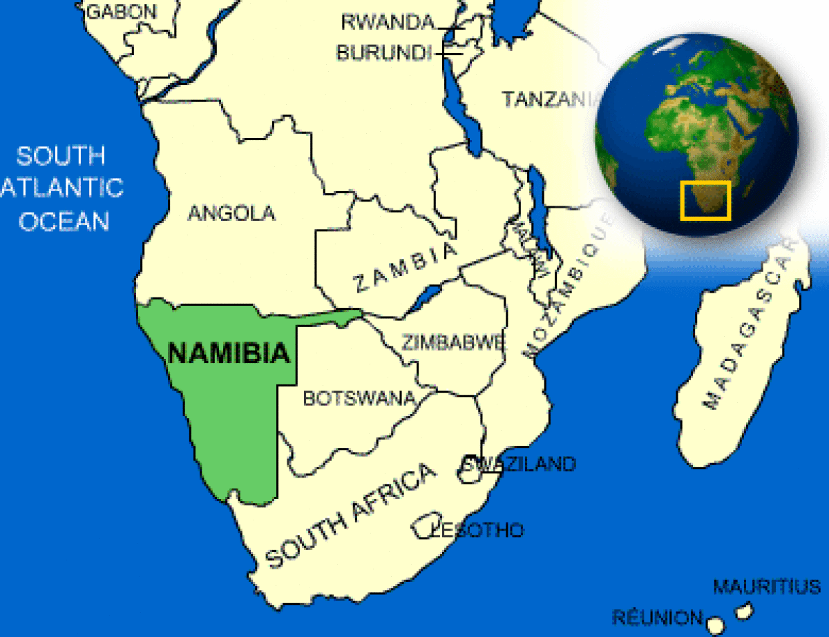
Where is Namibia, Namibia situated on the southern coast of Africa, invites exploration. It is bordered by Angola to the north, Zambia to the northeast, Botswana to the east, South Africa to the southeast and south, and the Atlantic Ocean to the west. It ranges from arid conditions in the north to sandy beaches along the coastline and in the east. The terrain is stunning; yet, the desert, mountains, canyons, and savannas are perhaps more exhilarating to explore than to reside in.
The perennial rivers comprise the Kunene (Cunene), the Okavango (Cubango), the Mashi (Kwando), and the Zambezi along the northern boundary, in addition to the Orange in the south. Only sections of the northern boundary are readily navigable. The coastal Namib desert, the treacherous reefs and shoals of the coastline, known as the “Skeleton Coast,” the arid terrains along the Orange River, and the desiccated Kalahari region to the east exemplify the protracted conquest of Namibia and provide a compelling geographic backdrop for the nation.
Namibia, characterized by its almost rectangular dimensions of 600 by 300 to 450 miles (965 by 480 to 725 kilometers), includes a slender eastern projection referred to as the Caprivi Strip. This distinctive creation originated from a German misunderstanding that access to the Zambezi, notwithstanding the existence of the Victoria Falls, would facilitate a route to the Indian Ocean.
After 106 years of German and South African rule, Namibia attained independence on March 21, 1990, under a dynamic democratic multiparty constitution. Windhoek is the nation’s heart.
Topographical Elevation
Namibia boasts a mesmerizing topography that extends from the formidable coastline of the Namib Desert, across the vast Central Plateau, and into the alluring Kalahari region. The Namib has a striking combination of rugged landscape and enchanting dunes in its core region. This habitat, characterized by its complex flora and fauna, is fragile and little populated, rendering it unsuitable for agriculture or livestock husbandry. Diamonds, presumably transported from the Basotho highlands via the Orange River, and uranium can be located near Oranjemund in the south and Arandis in the center. The Namib, extending 50 to 80 miles in width over much of its length, constricts toward the north where the Kaokoveld, the western escarpment of the Central Plateau, converges with the ocean.
The Central Plateau, with elevations between 3,200 and 6,500 feet (975 to 1,980 meters), constitutes the core of Namibia’s agricultural terrain. To the north, it adjoins the enchanting Kunene and Okavango river valleys, and to the south, it abuts the fascinating Orange. The terrain comprises vast savanna and scrub, with an increased presence of woods in the northern areas. The landscape features hills, mountains, and ravines, notably the remarkable Fish River Canyon, as well as significant salt pans such as the Etosha Pan. Brandberg, commonly known as Mount Brand (8,442 feet [2,573 metres]), is the highest mountain in Namibia, situated on the western escarpment of the plateau.
Soil and drainage
As said, only the rivers near the boundary remain unchanged. The Swakop and Kuiseb rivers begin on the plateau, descend the western escarpment, and ultimately dissipate in the Namib, except during infrequent flood years when they discharge into the sea at Swakopmund and Walvis Bay, respectively. The Fish (Vis) River originates in the Central Plateau, flowing southward into the Orange in a seasonal pattern. Multiple minor rivers originate from the plateau, subsequently disappearing into the extensive stretches of the Namib or Kalahari desert downstream.
The soils of Namibia exhibit significant variation, ranging from barren expanses of sand and rock to regions characterized by inferior, sand-dominated landscapes, as well as localized sections of comparatively fruitful soil. The most superior soils are located in the northern regions, especially in the Otavi Mountains, as well as in certain locations of the central and southern plateau, and across the Caprivi Strip. Water, rather than soil fertility, constitutes the primary barrier for agriculture. The vibrant Ovambo region to the north and the prosperous agricultural zones have experienced excessive land utilization, resulting in reduced tree and shrub cover, soil compaction, considerable erosion, and a decline in the water table by up to 100 feet throughout the 20th century.